Relief At Last
The heavy rains and floods seem to be receding as I write this report. During the 18 hours between 2pm yesterday and 8am this morning, Thredbo received 150mm of rain. The Thredbo River once again broke its banks but the water level has since dropped back down. I made a visit to Jindabyne this morning and was glad to see that the Alpine Way outside Wild Brumby was not in nearly as bad a condition as it appeared on Thursday afternoon.
Lake Jindabyne is incredibly full - at places up to the walking path around the lake. Some islands have disappeared whilst new islands have been formed by the rising of the lake by metres.
As I write this report the sun is shining and the rain has stopped in Thredbo Village.
View Thursday's report and photos at: http://www.ciau.com.au/snow/rrhist3.asp?rrid=655.
Over the past 7 days up until 9:00am this morning, Thredbo has recorded 432.2mm of rain - wow!
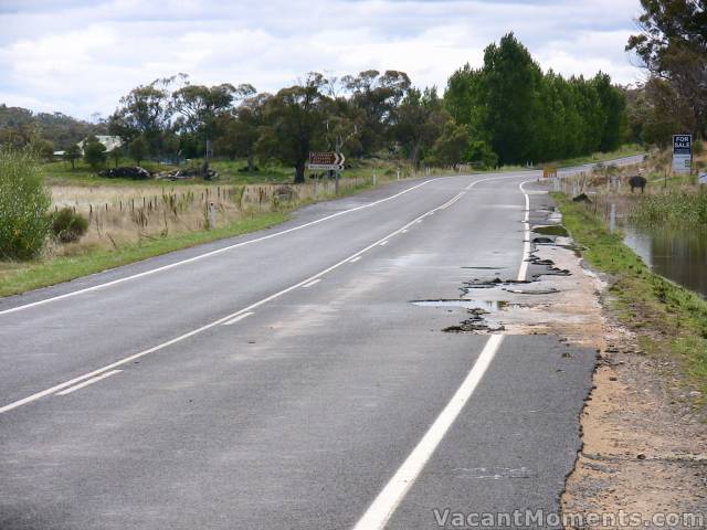
Alpine Way outside Wild Brumby distillery after the waters receded
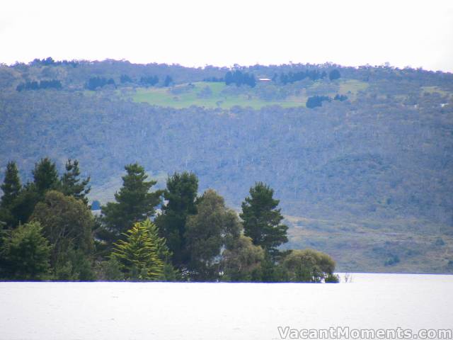
Islands going under in Lake Jindabyne
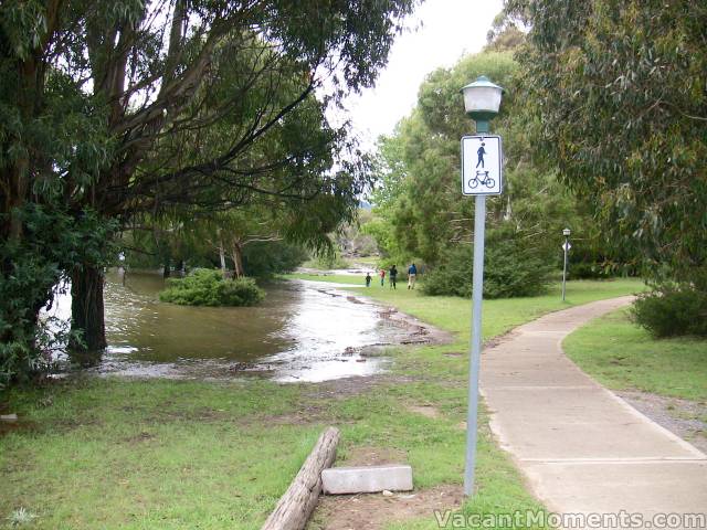
Water levels up to the lake walking path
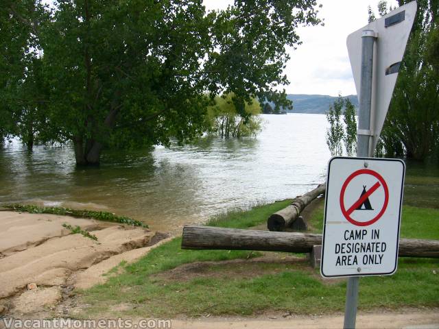
I've previously taken many photos of the lake from under the furthest away tree
Not today Josť
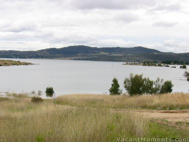
View from Kosciuszko Road of Curiosity Rocks (NOT)
and a new island in the top right
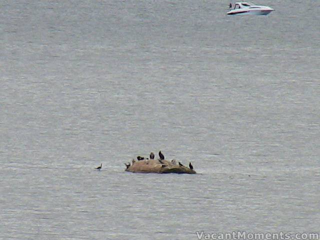
The top of Curiosity Rocks - that pyramid-like pile of boulders, now under water
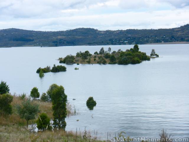
The new island from previous photo that was a peninsula only days ago
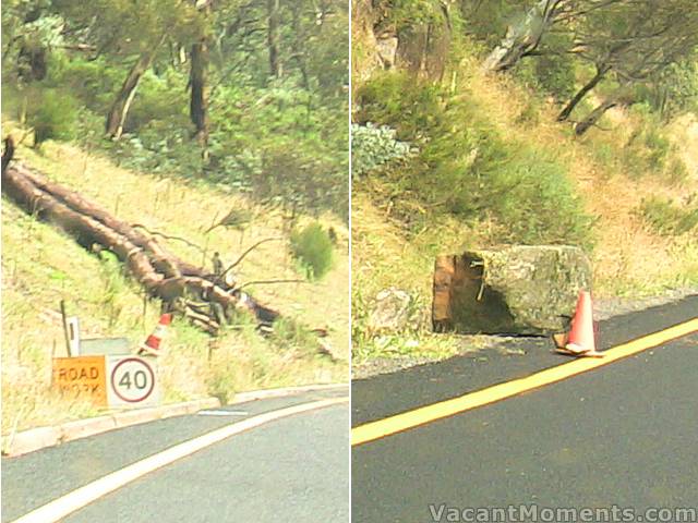
Workers were quickly on the job on Penderlea Hill removing road hazards
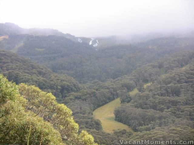
Merritts Creek above High Noon
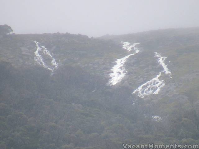
Close up of Merritts Creek this afternoon
It was good to see our local road workers hard at it on a Sunday clearing the Alpine Way below Penderlea Hill of boulders and trees and working on the numerous mud slides above the road.
It is really SAD and extremely worrying to say how slack some authorities (including the RTA) have been in regards to not reporting local road conditions. On Friday the RTA "Live Traffic" web site was redirecting us to the Snowy River Shire web site to find details about what roads had been closed, opened, etc. Unfortunately there were no updates until later today (Sunday). No help when people are trying to find out if it is safe to leave Thredbo (or anywhere else in the shire) on Saturday or Sunday morning. Considering the amount of media warnings about the dangers of driving in flood conditions you would think some one in the RTA, SES or Shire Council could update their web sites with "current" road conditions. There needs to be a lot more done to coordinate and inform the public about what is going on.
And another Grump:
I guess it is the result of rising costs in running a business in Thredbo but it was sad to see that Alfresco Pizzeria has imposed a $6 a bottle corkage fee. Hopefully Kebabz & Alpine Chinese have not gone down the same path because I forecast a big increase in their patronage.
Alas, more sad news: Acacia reports today on only seeing 5 of the 7 ducklings featured on my previous report.
 Report - Sunday, 4 March 2012 1:29:07 PM