The Thaw Begins
Misty rain, a little wet snow up high and strong winds were the recipe for the start of the week. That wonderful fresh cover we had last weekend is no more to be seen. The lower mountain is melting while the upper slopes are in great condition.
After the wet and sticky conditions on Monday and Tuesday we returned to traditional spring conditions although still quite windy. Several lifts have been on wind hold but on the good side, we have some great dry windblown drifts around the upper slopes.
Today the Bluff was magic deep and dry while the run out down True Blue was wet and thinning rapidly. Wiamea had an icy crust and was not much fun. Some areas around Sponars were very good while other areas where icy or covered in sastrugi or wet lumps.
Failing a surprise dump there will only be limited skiing and boarding to the valley this weekend. Lower High Noon is thinning but should hold out for another week. The Milk Run still looks good but thats the last of the good snow down low so be very careful this weekend dont assume there will be snow where you are going. The upper slopes should be very nice if you time it right between too icy and too wet.
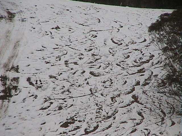
The remains of the new snow on Lovers Leap Bypass - Monday
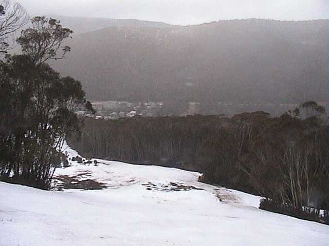
Bottom of True Blue on Tuesday
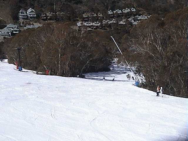
Milk Run today
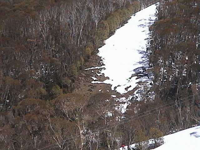
Bottom of Funnel Web exit
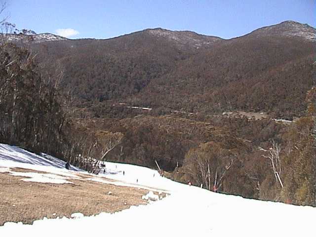
The bottom of High Noon - access to back of Gunbarrel is still open
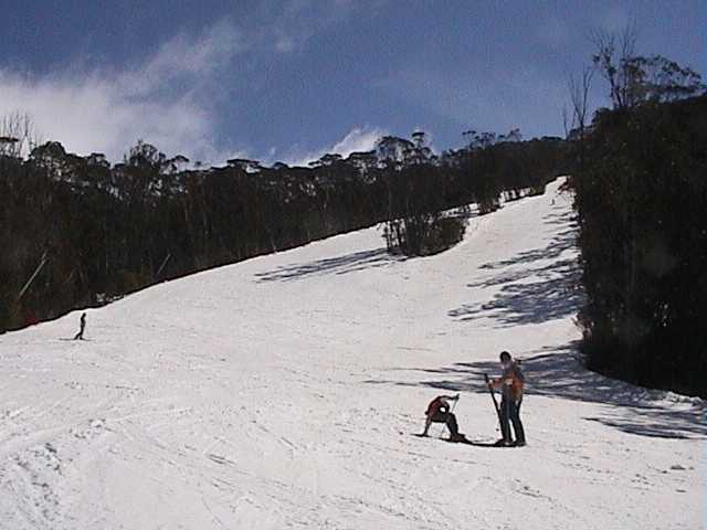
Looking back up High Noon - so crowded - not
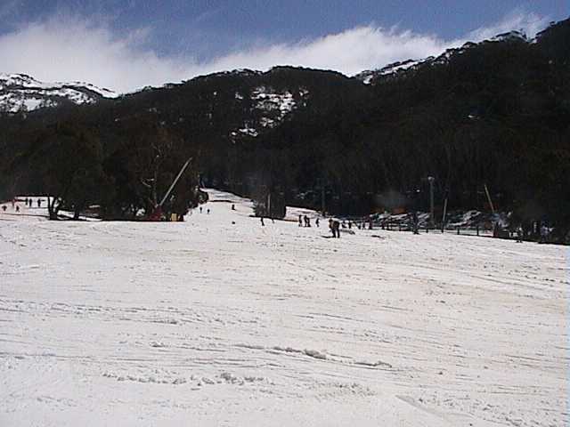
Friday Flat at midday today
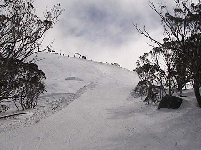
Entrance to Michaels Mistake groomed from the big air jumps
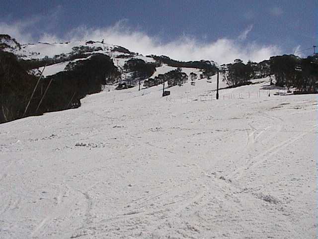
Lower Supertrail, looking back up
The sun is strong but wind chill up top has been below 20C. Once the winds drop the main range will be calling so much snow without a track on it. Any way you look at it, the snow pack is fantastic for the second half of September.
 Report - Thursday, 16 September 2004 1:06:07 PM